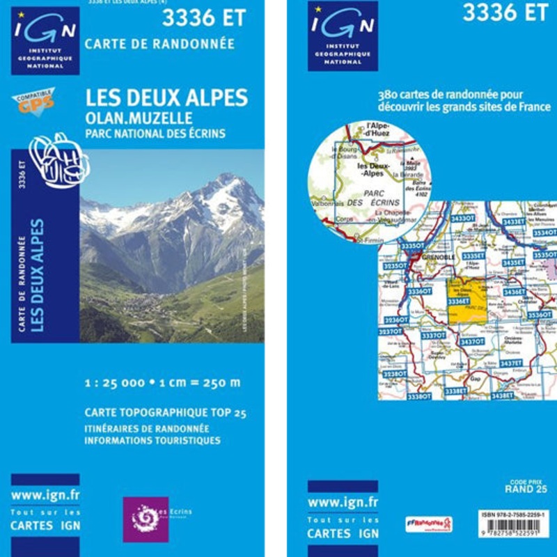

Description
TOP 25 maps cover areas of particular tourist interest. The maps have an overprint highlighting local footpaths, long-distance GR routes and, where appropriate, ski routes. Other tourist information includes campsites, equestrian or canoeing centres, huts, mountain refuges, etc. Map legend is in French and English. Each TOP 25 map covers an area of approximately 28 x 21 km (17 x 13 miles). The TOP 25 map series is printed with contour interval of 5 metres, except for mountainous areas, where the maps have hill shading and contours at 10-metre intervals.
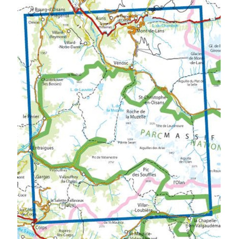
Map 3336ET covers the areas of Les Deux-Alpes, Olan, Muzelle and the Parc National des Ecrins The map is overprinted with a UTM grid for GPS users.
Pictures may not be the actual maps and are just for illustration.
- Map Dimensions 131 x 92cm aprox
Reviews
There are no reviews yet.